Bangladesh Tranverse Mercetor (BTM)
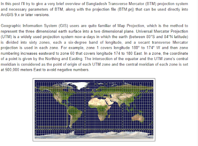
A projected coordinate system has a flat, 2D surface with constant lengths, angles, and areas across the two dimensions. Which makes it easier to calculate properties like area, distance of a object in map. UTM (Universal Transverse Mercator) is a widely used projected coordinate system which divides the Earth into sixty zones, each in six-degree interval.
As Bangladesh lies between UTM Zone 45N and 46N, FAP19 has adopted a Transverse Mercator projection for Bangladesh. Parameter of this projection are
| NAME | BANGLADESH TRANSVERSE MERCATOR (BTM) |
|---|---|
| Projection | Transverse_Mercator |
| False_Easting | 500000 |
| False_Northing | -2000000 |
| Central_Meridian | 90 |
| Scale_Factor | 0.9996 |
| Latitude_Of_Origin | 0 |
| Linear Unit | Meter (1.0) |
| Geographic Coordinate System | GCS_Everest_1830 |
| Angular Unit | Degree (0.0174532925199433) |
| Prime Meridian | Greenwich (0.0) |
| Datum | D_Everest_1830 |
| Spheroid | Everest_1830 |
| Semimajor Axis | 6377299.36 |
| Semiminor Axis | 6356098.352 |
| Inverse Flattening | 300.8017 |
Please note that its necessary to apply datum transformation parameter in order to convert from any coordinate system that uses Everest 1830 datum to a coordinate system that used WGS 1984 datum, required datum transformation parameters –
| METHOD | GEOCENTRIC_TRANSLATION |
|---|---|
| ΔX | 283.729m |
| ΔY | 735.942m |
| ΔZ | 261.143m |
Also note that these parameter values will be negative when transforming from WGS 1984 to Everest 1830.


Adapted from Shajol Jahid


Comments
Post a Comment